

How Do We Know That Earth’s Climate Is Changing?
Part One
Many people wonder how scientists can be so sure Earth’s climate is changing. After all, our planet is huge, and the weather changes every day. A cold day or a big storm can make climate change feel confusing.
The answer is simple: scientists don’t rely on just one piece of evidence or a single tool. Instead, they look at the big picture. They use many different kinds of measurements, collected in different ways, over long periods of time. All of these clues point to the same conclusion.
Scientists know Earth’s climate is changing in three main ways. They measure temperatures, rainfall, and sea level right here on Earth’s surface. They use satellites in space to observe the entire planet, even places that are hard or impossible for people to reach. And they study natural records from the past—like ice cores and tree rings—which act like history books for Earth’s climate.
When all of these independent sources line up, the message is clear: Earth is warming, and human activities are the main cause.
In this first blog of a three-part series, we’ll focus on measurements taken on Earth’s surface
Measuring Earth’s Climate on Land

Scientists have been measuring temperatures on land for hundreds of years. Some of the earliest records date back to 1659 in Central England. Reliable global temperature records began in 1880 and now come from more than 32,000 weather stations around the world. These stations measure air temperature, rain and snow, humidity, and wind. Together, these long-term records help scientists track how Earth’s climate is changing over time.
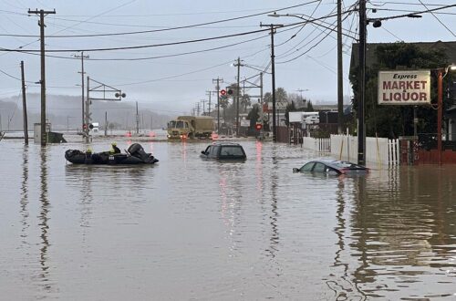
Scientists also use field surveys, which means going out into the real world to measure changes directly. They study melting glaciers, rising sea levels, dying coral reefs, thawing permafrost, and shifts in where plants and animals can live. These on-the-ground observations show how climate change is affecting Earth—and living things—right now.
Measuring Earth’s Climate on the Ocean
Oceans cover more than 70% of Earth’s surface, so they play a huge role in Earth’s climate. The ocean absorbs most of the extra heat trapped by greenhouse gases, which makes ocean measurements especially important.
How Scientists Measure Sea Level

People have been measuring sea level for hundreds of years. Early sailors and port cities marked water levels on docks and harbor walls to track tides and help ships navigate safely. Over time, these simple markings became more precise instruments called tide gauges.
Modern tide gauges were developed in the 1800s and are placed along coastlines around the world. They measure how high the ocean rises and falls compared to the land. Many of today’s tide gauge records go back more than 100 years, giving scientists a long, reliable history of sea level change.
These long-term records show a clear trend: global sea level is rising. This happens because warming water expands and because melting glaciers and ice sheets add more water to the ocean.
Measuring Ocean Temperature
Scientists also measure how warm the ocean is, which is key to understanding climate change.
The Bucket Method

Before about 1940, sailors measured ocean temperature by throwing a bucket on a rope into the ocean, pulling it back up, and then measuring the water temperature. This worked—but not very well. As the bucket was pulled up, air temperature could warm or cool the water, changing the reading.
A better idea: ship engines
In the 1930s and 1940s, scientists started measuring ocean water that was pumped into ships to cool their engines. This was more accurate because the water came from the ocean continuously and didn’t sit in the air.
When scientists compared these new measurements to the old bucket data, they found something important:
- Bucket measurements were usually slightly cooler
- This made early ocean warming look stronger than it really was
Buoys Take Over

Scientists began using ocean buoys in 1960 to understand ocean climate change.
Since the 1990s, thousands of floating buoys measure ocean temperatures, providing about 80% of all ocean temperature data.
Buoy measurements are usually a little cooler than ship measurements because:
- Buoys measure water slightly below the surface, where it’s cooler
- Water passing through a ship’s engine system can warm up just a little
Making Fair Comparisons
Because scientists have used different tools over time, they make small adjustments to the data. This helps old and new measurements of climate change match up.
That way, scientists can build a consistent and accurate long-term record of ocean temperatures.
Stay tuned here for the next two sections: how satellites measure climate changes and looking to the past.


You May Also Like
California’s Next Megaflood May Be Closer Than You Think

Melting Permafrost in Siberia is Creating Explosive Craters
